#4 & # 5 Liberty (4459') & Flume (4328’) November 5, 2011
#4 & # 5 Liberty (4459') & Flume (4328’) November 5, 2011:
10.2 miles, 4,250 ft elevation gain, 7:15 Book time. My time 10.5 hrs; 06:30(still dark) – 17:00 (day light)
Took the White House Trail (.5 mile mistake) to the Liberty Spring trail to the Franconia Ridge trail to Liberty then Flume and back. Should have taken the bike path from the parking area to the Liberty Trail. Particularly since I started after dark and with many leaves and no snow it was hard to follow. The white house trail meets up with the bike path after .5 miles of winding path through narrow woods.
Chose this day because it was warm (>30 deg) and the day after several days of freeze. It was getting warmer the next few days but that would mean mud. Expected to see snow at the bottom but no snow, snow started at ~ 3500 ft and increased to the top but never very deep and well broken out. Though only 4 days after Moosilauke this was a completely different hike. Liberty doesn’t have the thick fir trees of Moosilauke so it’s all bare hardwood trees (elm, maple, birch) with many leaves on the ground. Better views of mountains behind you (Moosilauke etc) going up but not that impressive through bare trees. The beginning seemed more like a hike through winter woods then on a mountain. First hour is near level ground. Then comes a 1000+ ft straight arduous staircase of rocks, nothing difficult, but unending and boring.
Along the ridge is much more scenic and interesting. Both mountains have very steep final peaks that actually seem a bit dangerous. Liberty peak seems like massive boulders on top of a hill. Flume peak seems more like a rocky ridge with a sharp (100 ft+) drop off. I decided to do this as a turnaround rather than a loop because they say flume slide trail up is very difficult in the winter. This was confirmed by the few hikers I met that went that way and said they had to pull themselves up hand over hand grabbing onto tree roots on the edge of the flat rocks that define the trail (the guide books say that the AMC people have deliberately put logs in the way off trail routes to discourage bushwhacking I'm not sure if I believe that.)
I learned on this hike to avoid multiple summit turnaround hikes, particular when higher peaks come first, and there is a low col between peaks because you end up summiting twice on the same mountain(s).
There was one interesting aspect of the hike; coming off Liberty going toward Flume there is a large shelf rock that you need to slide down. Coming back, its close to a rock climbing event getting back up it, particularly with the snow/ice covering. An ice axe may have been handy.
All and all the view from the peaks was the only really desirable part of this hike. It had a longer distance and greater ascent height than my first two hikes and I felt it.
Pictures:


Liberty Springs campsite.

Liberty Springs campsite.

Liberty Springs campsite.
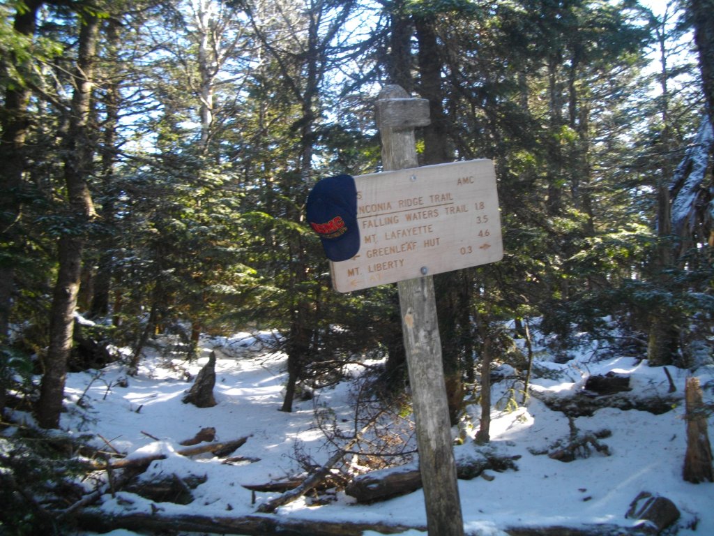
Junction with Franconia Ridge


Cannon

Washington.


Peak of Liberty

#4 Liberty


Top of Flume


#5 Flume

Flume Ridge looking South.

Tough rock to climb back over to Liberty from South side

micro spikes - a great invention. easy-on easy-off traction
Hard to believe that I was still hiking in Jeans then. Hadn't learned that "Cotton Kills" yet.

small snowman
GO BACK TO THE INDEX.
>
GO TO THE NEXT HIKE
GO TO THE PREVIOUS HIKE
posted by 1SlowHiker @ 11:11 AM
0 Comments
![]()
